AEGIS 2K expands its portfolio of services after entering into joint venture with EOS (Earth Observation Solutions).
From this co-operation derives a new division of AEGIS 2K: AEGIS 2K-EOS, a division providing high-level services to the oil&gas and mining sectors based on strategic environmental studies using remote sensing, numerical modeling and new technologies.
The new division will operate in all industrial sectors requiring specific support for data mining, spatial intelligence, strategic impact studies and plant&infrastructure siting.
The EOS division of Aegis 2k builds on its capabilities, with 20-year of experience of its technical and scientific staff, on applications of: remote sensing, GIS, acquisition technologies and numerical modeling, environmental impact assessment, risk mitigation and monitoring, hazard forecasting, rapid mapping, strategic resources evaluation and support to design, siting and operation of plant and infrastructures for the whole natural resources industry.
EOS Services
LAND
EO-Based land classification and mapping, terrain characterization, 3D mapping for plant design and installation, change and target detection, risk mapping, pipeline monitoring, oil spill detection.
WATER & OCEAN
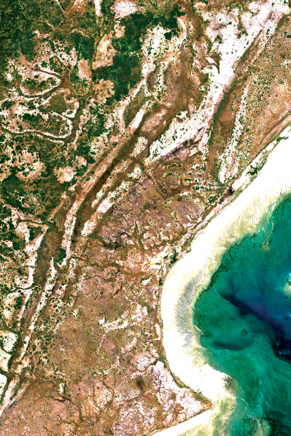
Coastal studies, coral reef mapping, surface and ground water assessment, shallow water classification, wetland mapping and monitoring.
ECOSYSTEM
Vegetation mapping, biomass quantification, mangrove forest detection, identification and mapping of protected and endangered areas.

